24 Apr THE GREAT CROSSING BEVAGNA – BETTONA STAGE 2
FROM MADONNA DELLA VALLE TO BETTONA
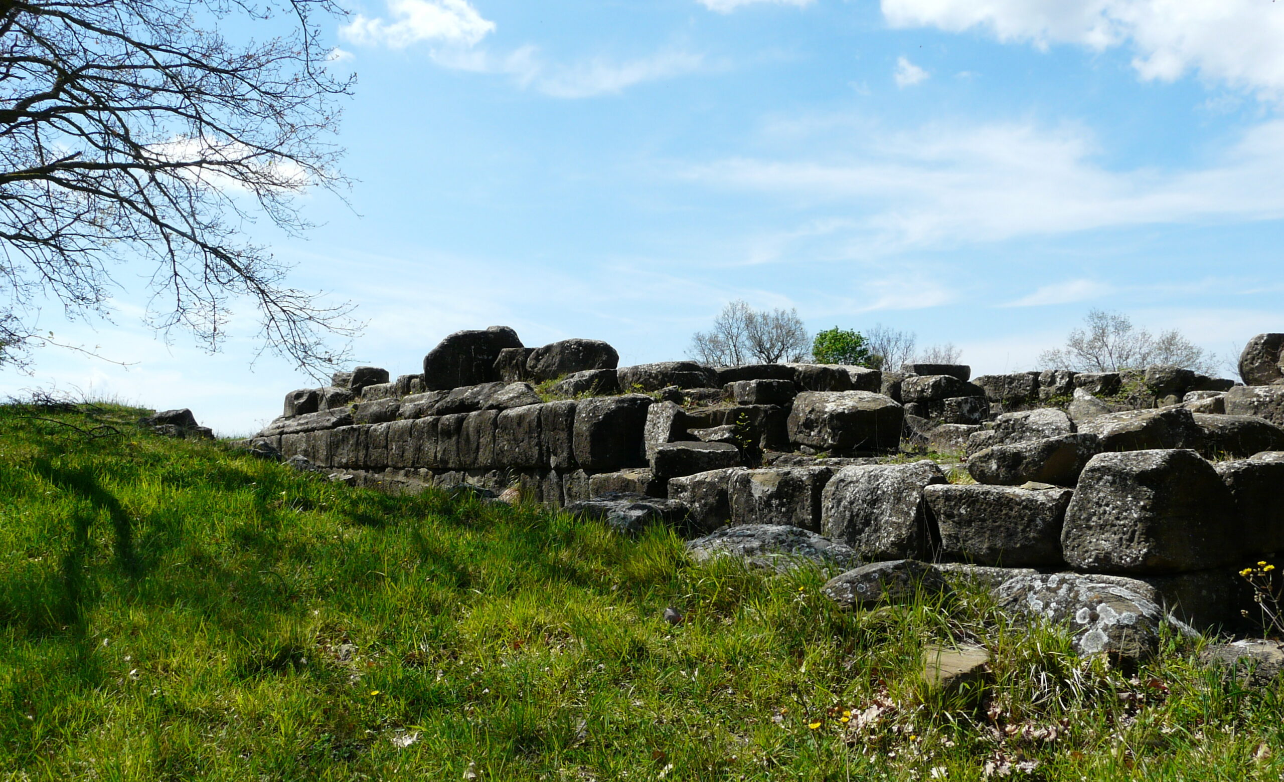
The second stage, starts from the Sanctuary of Madonna della Valle, reaches the saddle of Monte delle Civitelle, (719 m asl), a ridge that separates the Umbra Spoletana Valley from the Tiberina Valley, travels along a long and scenic stretch of ridge, then begins to descend through woods, olive groves and high hill cultivation, to the village of Collemancio, once the site of a Roman municipium -Urvinum Hortense- of which we can visit the acropolis. From the ruins we descend, skirting the hill, to Bettona, always accompanied by the view of Assisi and Mount Subasio on the other side of the valley.

Height difference: 668 m +, 894 –
Km: 18.5
Duration: 6.30′ hours
Difficulty: (E), easy/medium
Signage: present only in the stretch from Collemancio to the Sangro Creek(936)
Water along the route: drinking fountain at Collemancio
Recommended season: all year round.
Route type: the itinerary is on paved or gravel-bottomed secondary roads, earth-bottomed forest roads, trails.
Points of interest: Sanctuary of Madonna della Valle – Village of Collemancio- Urvinum Hortense Ruins – Bettona
ROAD MAP
We set off again from the Sanctuary and, after a short climb, again gain the crest of Monte delle Civitelle until we reach the Pomontina, a wide, gravel road with very low traffic flow, which takes us to Collemancio. (drinking fountain, hospitality possibilities). Visiting the impressive ruins of Urvinum Hortense, Trail 936 leads you to the valley floor, where our route skirts the right side of the Sambro stream. In case of a flood, clearly visible as you descend, keep to the dirt road that runs along it on the other side, less poetic but safer. Once you reach the Umbrian Vale, some small roads, frequented only by the inhabitants of the farmhouses, will take you to the village of Bettona.
For more:
For more:
https://www.visit-bevagna.it/item/santuario-della-madonna-della-valle/ https://www.visit-bevagna.it/item/santuario-della-madonna-della-valle/
https://www.iluoghidelsilenzio.it/santuario-della-madonna-della-valle-bevagna/
https://www.iluoghidelsilenzio.it/castello-di-collemancio-cannara-pg/
https://www.iluoghidelsilenzio.it/urvinum-hortense-area-archeologica-cannara-pg/


