24 Apr THE GREAT BEVAGNA – BETTONA CROSSING
The crossing of the Martani Hills, in the stretch that hems the Umbrian Vale from Bevagna to Bettona, is an itinerary of rare beauty and variety, traversing a landscape of high hills, mountainous in places, practically depopulated. Despite its proximity to the best-known and most important centers on the eastern side – Foligno, Spello, Assisi – that will parade before us one after the other as we travel our journey on two wheels.
The crossing first reaches the ruins of Madonna del Monte: abandoned in 1555 by the nuns for security reasons, the convent thus gave rise to the present Bevanate monastery significantly named “S. Maria del Monte.” It then travels along the ridge of Monte delle Civitelle,
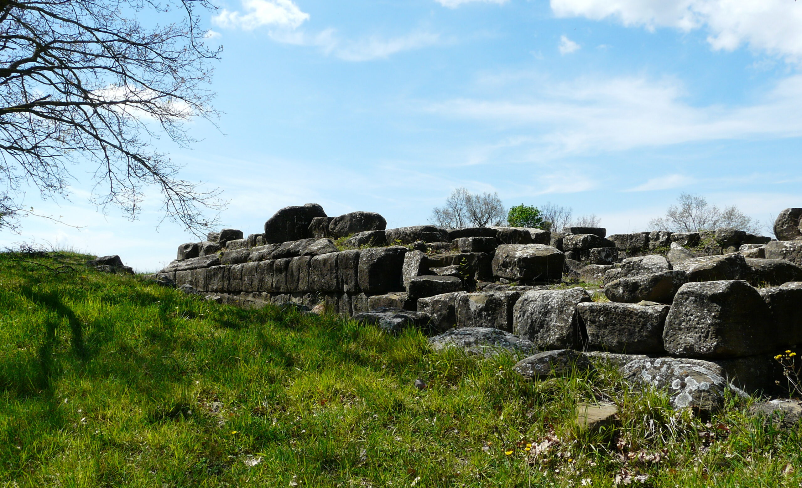
719 m asl), which separates the Umbrian Vale from the Tiber Valley, offering us views as far as the eye can see. It then begins to descend through forests, olive groves, and high hillside cultivation, to the village of Collemancio, once the site of a small Roman municipium-Urvinum Hortense-whose acropolis we can visit.
From the ruins, we descend, skirting the hill, to Bettona, always accompanied by the view of Assisi and Mount Subasio on the other side of the valley.

Altitude change: 1240 m +, 1088 –
Km: 25,8
Duration: 3.30’ ore
Difficulty: (BC) for bikers with good technical abilities
Segnaletica: presente nel solo tratto dall’ Urvinum Hortense al Torrente Sangro(936)
Water along the route: drinking fountain at Collemancio
Recommended season: all year round.
Route type: the itinerary is on paved or gravel-bottomed secondary roads, earth-bottomed forest roads, trails.
Points of interest: Ruins of Madonna del Monte – Borgo di Collemancio- Ruins Urvinum Hortense – Bettona
ROAD MAP
Leave the car at Piazzale dell’Accoglienza, then, as you leave Bevagna, pass the bridges, traverse a small residential hillside area on a narrow asphalt road travelled only by the few residents. Leaving the last houses, the asphalt turns into a good dirt road and descends to the valley floor. Here, past the ruins of an old mill, we turn left. A few meters later, we go up the hill on a gravel road going up, on a paved alley road, then for a very short distance on asphalt, then on forest roads with beaten earth, to the ruins of Madonna del Monte. Travelled the entire crest of Monte delle Civitelle, descend until you reach the Pomontina, a wide gravel road with very low traffic flow, which leads us to Collemancio. (drinking fountain, hospitality possibilities). Visiting the impressive ruins of Urvinum Hortense, path 936 leads you to the valley floor, where the route skirts the right side of the Sambro stream. In case of a flood, clearly visible as you descend, keep to the dirt road that runs along it on the other side, less poetic but safer. Once you reach the Umbrian Vale, some small roads, frequented only by the inhabitants of the farmhouses, will take you to the village of Bettona.
For more:
https://www.iluoghidelsilenzio.it/chiesa-e-monastero-della-madonna-del-monte-o-de-civitellis-bevagna-pg/
https://www.iluoghidelsilenzio.it/castello-di-collemancio-cannara-pg/
https://www.iluoghidelsilenzio.it/urvinum-hortense-area-archeologica-cannara-pg/
https://www.umbriatourism.it/it/-/urvinum-hortense
http://www.comune.bettona.pg.it/


