BEVAGNA AND ITS TERRITORY
Area in km²
Inhabitants
Itineraries for the territory

BEVAGNA AND ITS TERRITORY
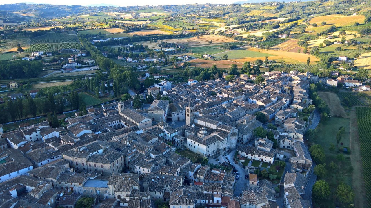
Bevagna, a city in the Umbrian Valley, in the province of Perugia. It offers the richness of historical testimonies, the presence of a splendid square, the genuineness of the wines and foods, the beauty of the environment and an appreciated artisan production.
The city is surrounded by walls and rich in Roman and medieval monuments. Numerous remains attest to human presence since the Iron Age. Roman municipality (90 BC), ascribed to the Aemilia tribe, it is at the center of the great road system set up by the Romans with the Via Flaminia which determined the prosperity of Mevania up to the 3rd century. d. C. According to some scholars, the name derives from the Etruscan noble Mefana, evidence of an Etruscan presence prior to that of the Umbrians. Then Mevania for the Romans. For others “the city was the probable capital of the Umbrian league: the same poleonym Mevania is perhaps to be interpreted as “(the city) which is in the middle”, to indicate its geographical and political centrality”.
The territory is full of medieval “castles” such as Torre del Colle, Limigiano, Castelbuono and Gaglioli, which have maintained their atmosphere of silent places over the years where numerous visitors go to enjoy the tranquillity, immersed in nature and away from main tourist routes. Central in the Bevagna area is Cantalupo, another important center of life and starting point for numerous paths such as the “Sculpture Park” which contains the traditions, stories, sounds, voices and good feelings of the peasant tradition of Bevagna and the sacred place of “Piandarca” famous for the “Preaching to the birds” of St. Francis and today a pilgrimage destination for the many faithful.
HOW TO REACH IT: By car. From the north, A1 motorway, Valdichiana exit, then SS 75 in the direction of Perugia–Foligno; from the south, A1 exit Orte, then SS Flaminia in the direction of Terni-Spoleto-Foligno; from Todi, direction Foligno, SR 316 of Monti Martani. By train: Foligno station, Florence-Terontola-Perugia lines; Rome-Orte; Ancona-Foligno.
DISTANCES FROM THE MAIN CENTERS: Florence 160 km, Rome 148, Perugia 35, Assisi 25, Foligno 9.


